Loading...
Way History: Balic-Balic Road (198783292)
Version #1
Added places
Tags
| highway | secondary |
|---|---|
| name | Balic-Balic Road |
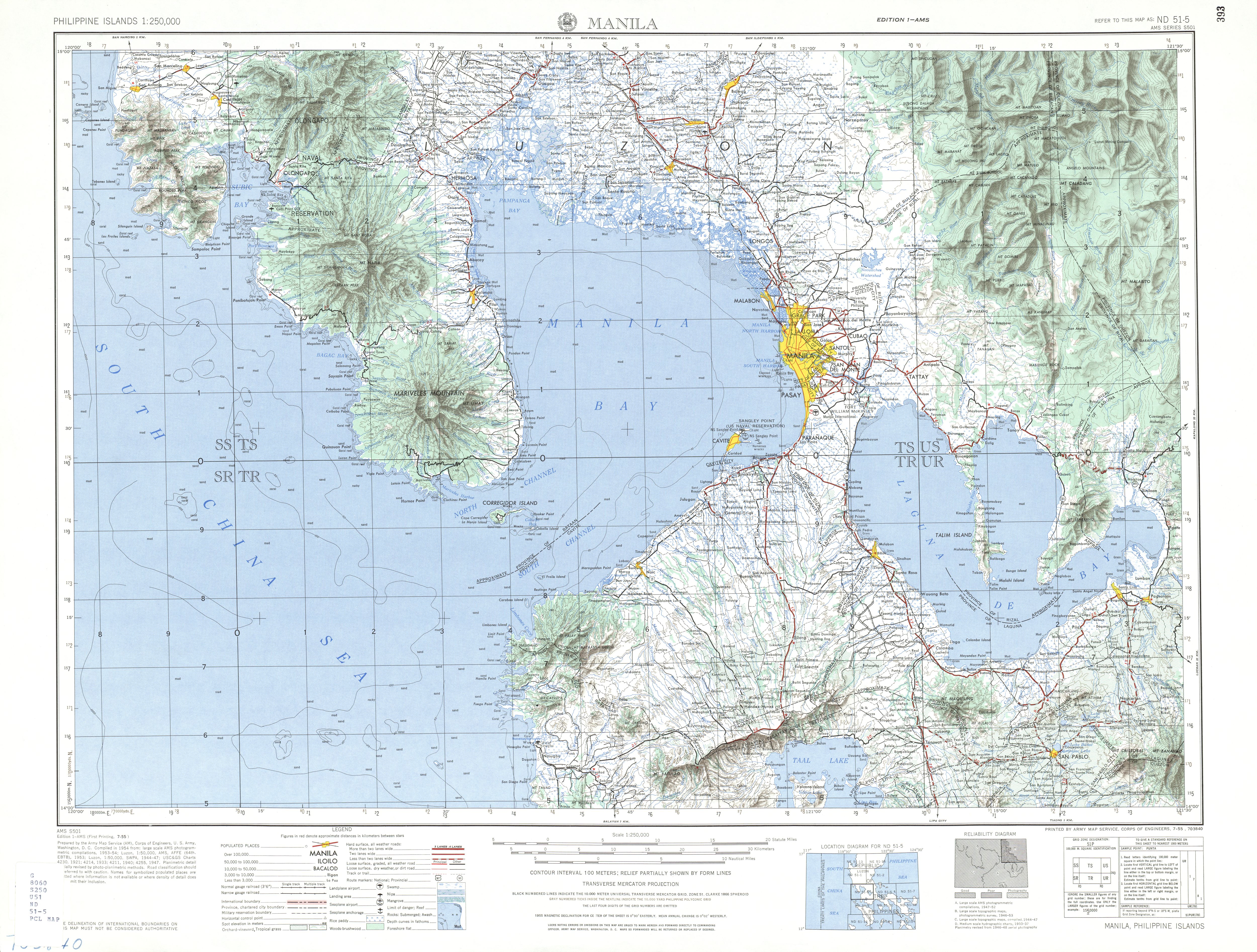
| source | https://maps.lib.utexas.edu/maps/ams/philippines/txu-oclc-6539351-nd51-5-450.jpg |
| start_date | 1964 |
Nodes
48 nodes
- 2095759365 (part of ways Santa Rita (198783290) and 198783291)
- 2095759380
- 2095759381
- 2095759382
- 2095759383
- 2095759384
- 2095759385
- 2095759386
- 2095759387
- 2095759388
- 2095759389
- 2095759390
- 2095759391
- 2095759392
- 2095759393
- 2095759394
- 2095759395
- 2095759396
- 2095759397
- 2095759398
- 2095759399
- 2095759400
- 2095759401
- 2095759402
- 2095759403
- 2095759404
- 2095759405
- 2095759406
- 2095759407
- 2095759408
- 2095759409
- 2095759410
- 2095759411
- 2095759412
- 2095759413
- 2095759414
- 2095759415
- 2095759416
- 2095759417
- 2095759418
- 2095759419
- 2095759420
- 2095759421
- 2095759422
- 2095759423
- 2095759424
- 2095759425
- 2095759426 (part of way Waterdam Road (198789887))
Welcome to OpenHistoricalMap!
OpenHistoricalMap is an interactive map of the world throughout history, created by people like you and dedicated to the public domain.
| https://openstreetmap.org/copyright | https://openstreetmap.org |
| Copyright OpenHistoricalMap and contributors, under an open license | |