Loading...
Way: Santa Rita (198783290)
Version #1
Added places
Tags
| highway | secondary |
|---|---|
| name | Santa Rita |
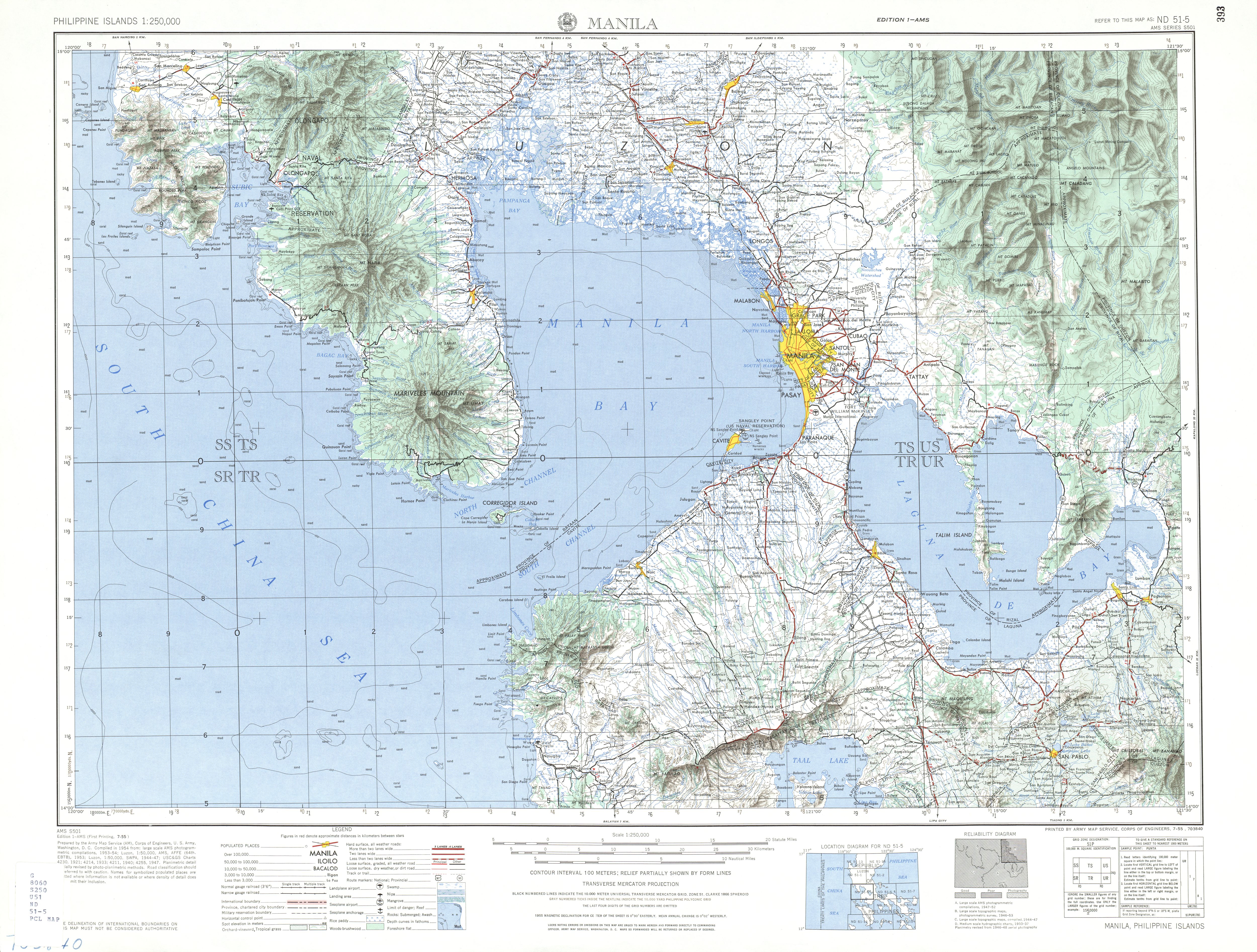
| source | https://maps.lib.utexas.edu/maps/ams/philippines/txu-oclc-6539351-nd51-5-450.jpg |
| start_date | 1964 |
Nodes
46 nodes
- 2095759291 (part of ways 198783283 and 198783407)
- 2095759321
- 2095759322
- 2095759323
- 2095759324
- 2095759325
- 2095759326
- 2095759327
- 2095759328
- 2095759329
- 2095759330
- 2095759331
- 2095759332
- 2095759333
- 2095759334
- 2095759335
- 2095759336
- 2095759337
- 2095759338
- 2095759339
- 2095759340
- 2095759341
- 2095759342
- 2095759343
- 2095759344
- 2095759345
- 2095759346
- 2095759347
- 2095759348
- 2095759349
- 2095759350
- 2095759351
- 2095759352
- 2095759353
- 2095759354
- 2095759355
- 2095759356
- 2095759357
- 2095759358
- 2095759359
- 2095759360
- 2095759361
- 2095759362
- 2095759363
- 2095759364
- 2095759365 (part of ways 198783291 and Balic-Balic Road (198783292))
Welcome to OpenHistoricalMap!
OpenHistoricalMap is an interactive map of the world throughout history, created by people like you and dedicated to the public domain.
| https://openstreetmap.org/copyright | https://openstreetmap.org |
| Copyright OpenHistoricalMap and contributors, under an open license | |