Way: Palais Borsig (200012526)
Version #1
added Buildings in Voßstraße from Straubeplan
- Edited by CuratorOfThePast
- Changeset #117758
Tags
| building | yes |
|---|---|
| end_date | 1938 |
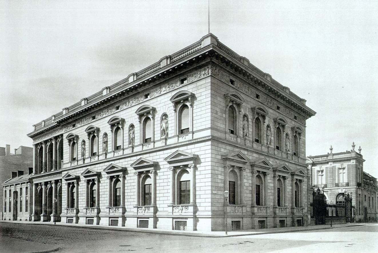
| image:1 | https://upload.wikimedia.org/wikipedia/commons/7/73/1881_Palais_Borsig.jpg |
| name | Palais Borsig |
| start_date | 1877 |
| wikidata | Q51903 |
| wikipedia | de:Palais Borsig |
Nodes
12 nodes
- 2100357326 (part of ways 200012525, 200012525, and 199338596)
- 2113143644 (part of way 200012525)
- 2113143649
- 2113143650
- 2100357327 (part of way 199338596)
- 2113143651 (part of way 199338596)
- 2113143652
- 2113143653
- 2113143654
- 2113143655
- 2113143656 (part of way 199338596)
- 2100357326 (part of ways 200012525, 200012525, and 199338596)
Welcome to OpenHistoricalMap!
OpenHistoricalMap is an interactive map of the world throughout history, created by people like you and dedicated to the public domain.
GreenInfo Network is a nonprofit social-good mapping and communications organization that helps nonprofits and government agencies achieve social, environmental, and other goals using a range of tools, including human-centered design practices, collaborative development, and open source web and geospatial tools.
Development Seed is an engineering and product company that is accelerating the application of earth data to our biggest global challenges. Development Seed leverages massive earth data, cloud computing, geospatial AI, and thoughtful product development.
| https://openstreetmap.org/copyright | https://openstreetmap.org |
| Copyright OpenHistoricalMap and contributors, under an open license | |