Loading...
Way: 198782128
Version #1
Added places
Tags
| boundary | administrative |
|---|---|
| end_date | 1979 |
| note | Boundary approximate only |
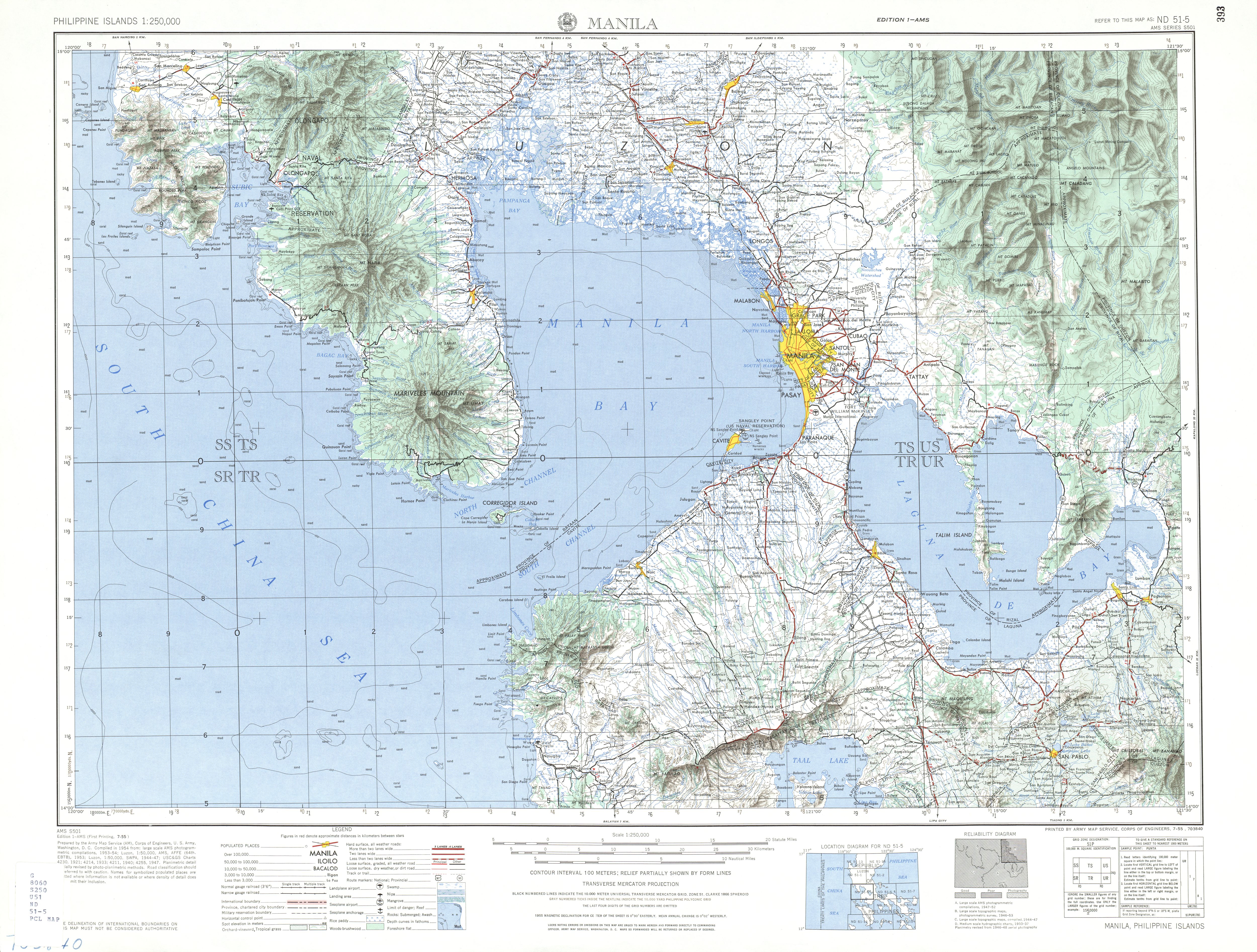
| source | https://maps.lib.utexas.edu/maps/ams/philippines/txu-oclc-6539351-nd51-5-450.jpg |
| start_date | 1946-07-04 |
Part of
2 relations
- Relation U.S. Naval Base Subic Bay (2697346)
- Relation U.S. Naval Base Subic Bay (2697345)
Nodes
29 nodes
- 2095744239 (part of ways 198782127 and 198782129)
- 2095744240
- 2095744241
- 2095744242
- 2095744243
- 2095744244
- 2095744245
- 2095744246
- 2095744247
- 2095744248
- 2095744251
- 2095744252
- 2095744253
- 2095744250
- 2095744249
- 2095744254
- 2095744255
- 2095744256
- 2095744257
- 2095744258
- 2095744259
- 2095744262
- 2095744263
- 2095744264
- 2095744265
- 2095744266
- 2095744267
- 2095744261
- 2095744260 (part of way 198789860)
Welcome to OpenHistoricalMap!
OpenHistoricalMap is an interactive map of the world throughout history, created by people like you and dedicated to the public domain.
| https://openstreetmap.org/copyright | https://openstreetmap.org |
| Copyright OpenHistoricalMap and contributors, under an open license | |