Loading...
Way History: 198781812
Version #3
Added and modified places
Tags
Nodes
22 nodes
- 2095739005
- 2095739006
- 2095739007
- 2095738994 (part of way 198781814)
- 2095739008
- 2095739009
- 2095739010
- 2095739011 (part of way 198781813)
- 2095739012
- 2095739013 (part of way 198783293)
- 2095738995
- 2095738996
- 2095739000
- 2095759498 (part of way 198783301)
- 2095739001
- 2095739002 (part of way 198781815)
- 2095739003
- 2095739004
- 2095738997 (part of way 198781821)
- 2095738998 (part of way 18th Street (198781870))
- 2095738999 (part of way Afable Street (198783277))
- 2095739005
Version #2
Added places
Tags
| highway | trunk |
|---|---|
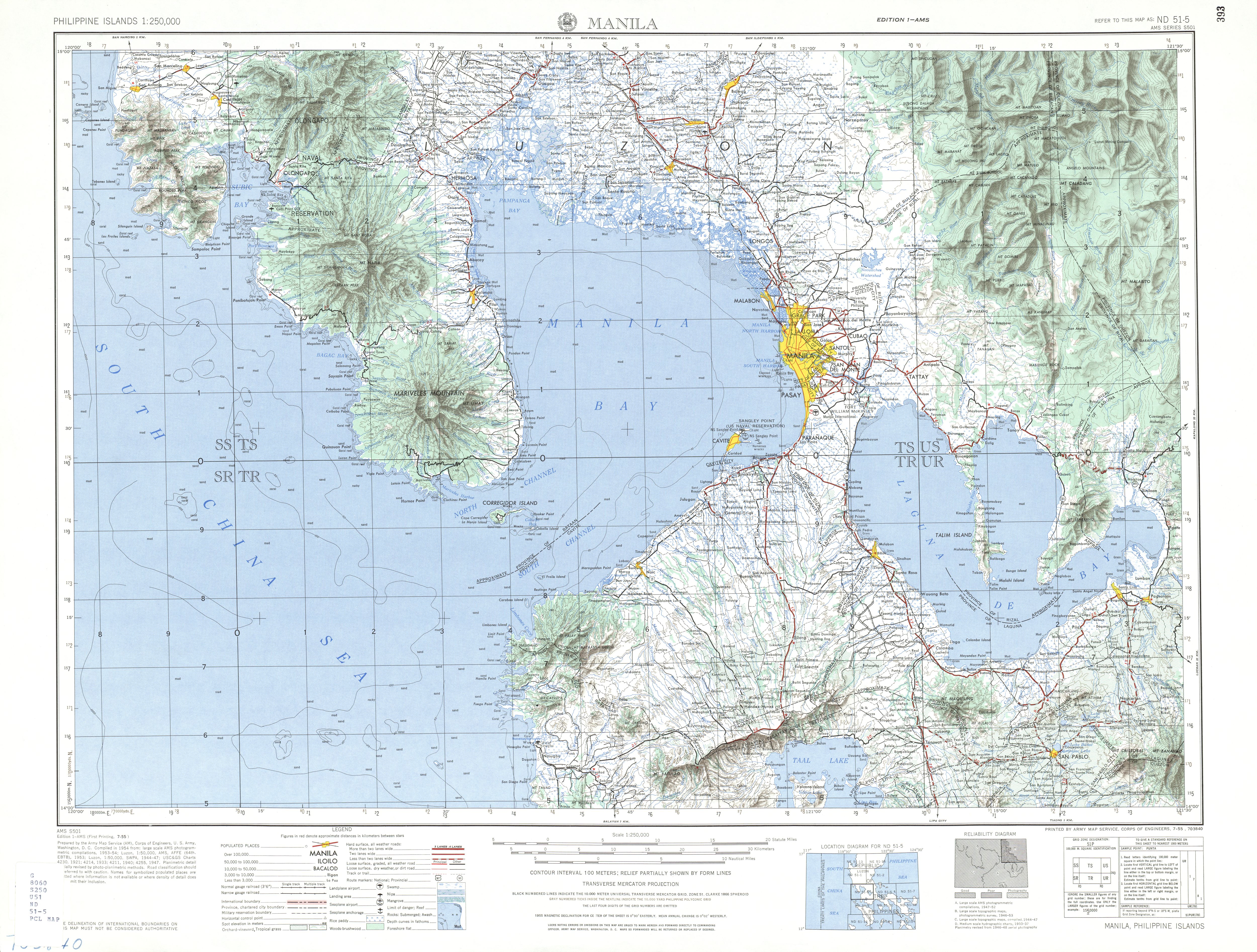
| source | https://maps.lib.utexas.edu/maps/ams/philippines/txu-oclc-6539351-nd51-5-450.jpg |
| start_date | 1964 |
Nodes
22 nodes
- 2095739005
- 2095739006
- 2095739007
- 2095738994 (part of way 198781814)
- 2095739008
- 2095739009
- 2095739010
- 2095739011 (part of way 198781813)
- 2095739012
- 2095739013 (part of way 198783293)
- 2095738995
- 2095738996
- 2095739000
- 2095759498 (part of way 198783301)
- 2095739001
- 2095739002 (part of way 198781815)
- 2095739003
- 2095739004
- 2095738997 (part of way 198781821)
- 2095738998 (part of way 18th Street (198781870))
- 2095738999 (part of way Afable Street (198783277))
- 2095739005
Version #1
Added places
Tags
Nodes
21 nodes
- 2095739005
- 2095739006
- 2095739007
- 2095738994 (part of way 198781814)
- 2095739008
- 2095739009
- 2095739010
- 2095739011 (part of way 198781813)
- 2095739012
- 2095739013 (part of way 198783293)
- 2095738995
- 2095738996
- 2095739000
- 2095739001
- 2095739002 (part of way 198781815)
- 2095739003
- 2095739004
- 2095738997 (part of way 198781821)
- 2095738998 (part of way 18th Street (198781870))
- 2095738999 (part of way Afable Street (198783277))
- 2095739005
Welcome to OpenHistoricalMap!
OpenHistoricalMap is an interactive map of the world throughout history, created by people like you and dedicated to the public domain.
OpenHistoricalMap is a charter project of OpenStreetMap U.S., a 501(c)(3) nonprofit organization affiliated with the OpenStreetMap Foundation. Technical development is supported by GreenInfo Network and Development Seed.
| https://openstreetmap.org/copyright | https://openstreetmap.org |
| Copyright OpenHistoricalMap and contributors, under an open license | |