Loading...
Way: 198774972
Version #1
Added places
Tags
| highway | residential |
|---|---|
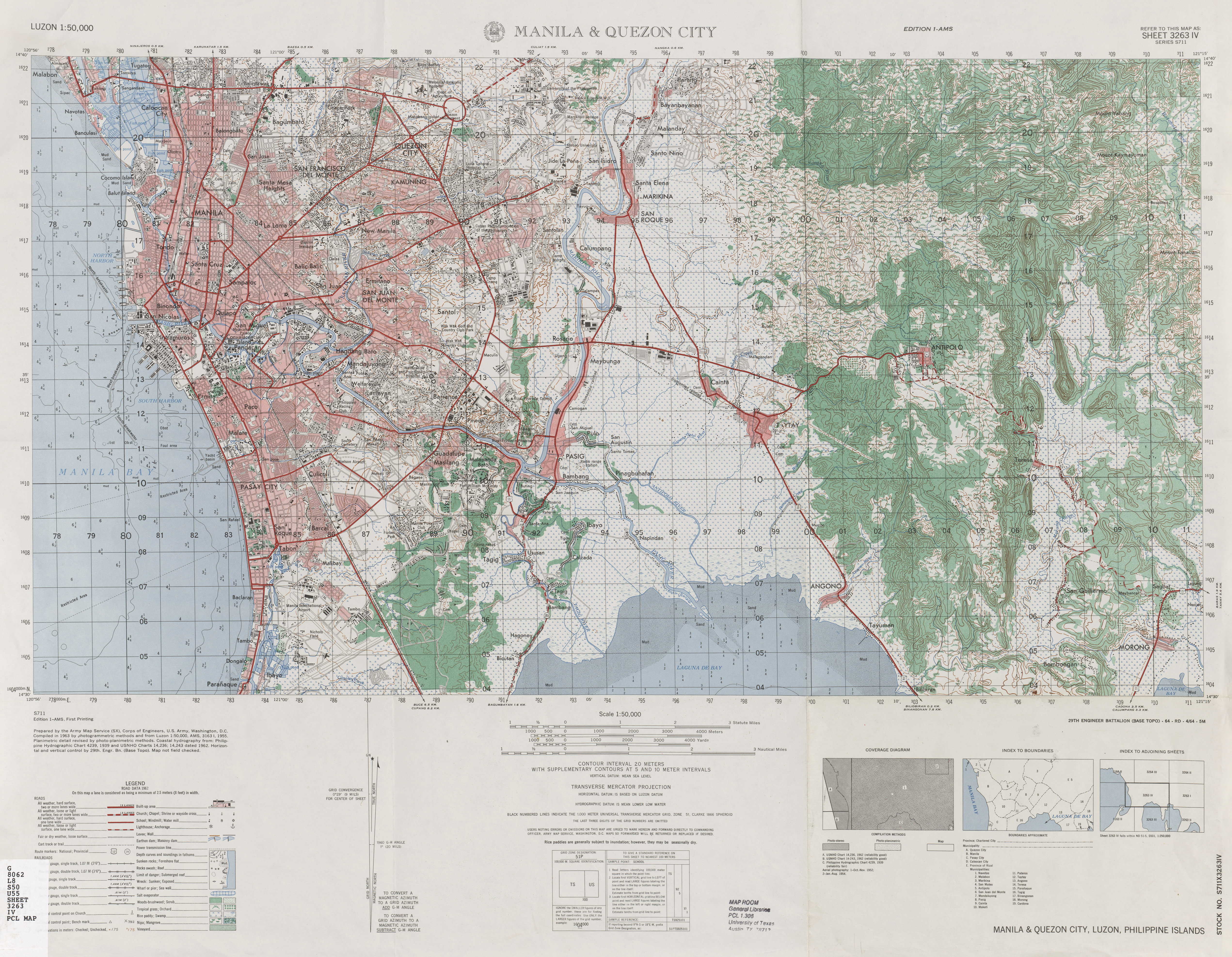
| source | https://maps.lib.utexas.edu/maps/ams/luzon_50k/txu-pclmaps-oclc-10282124-manila-and-quezon-city.jpg |
| start_date | 1964 |
Nodes
16 nodes
- 2094841328 (part of way 198752551)
- 2095435586
- 2095435587
- 2095435588
- 2095435589
- 2095435590 (part of way 198774974)
- 2095435591
- 2095435592
- 2095435593
- 2095435594
- 2095435595 (part of way 198586311)
- 2095435596
- 2095435597
- 2095435598
- 2095435599
- 2095435600 (part of ways Dela Rosa (199317153) and 198774973)
Welcome to OpenHistoricalMap!
OpenHistoricalMap is an interactive map of the world throughout history, created by people like you and dedicated to the public domain.
OpenHistoricalMap is a charter project of OpenStreetMap U.S., a 501(c)(3) nonprofit organization affiliated with the OpenStreetMap Foundation. Technical development is supported by GreenInfo Network and Development Seed.
| https://openstreetmap.org/copyright | https://openstreetmap.org |
| Copyright OpenHistoricalMap and contributors, under an open license | |