Loading...
Way: 198647407
Version #2
https://zh.wikipedia.org/wiki/%E6%BC%A2%E5%9B%9B%E9%83%A1
- Edited by hangukhistory
- Changeset #53961
Tags
Part of
2 relations
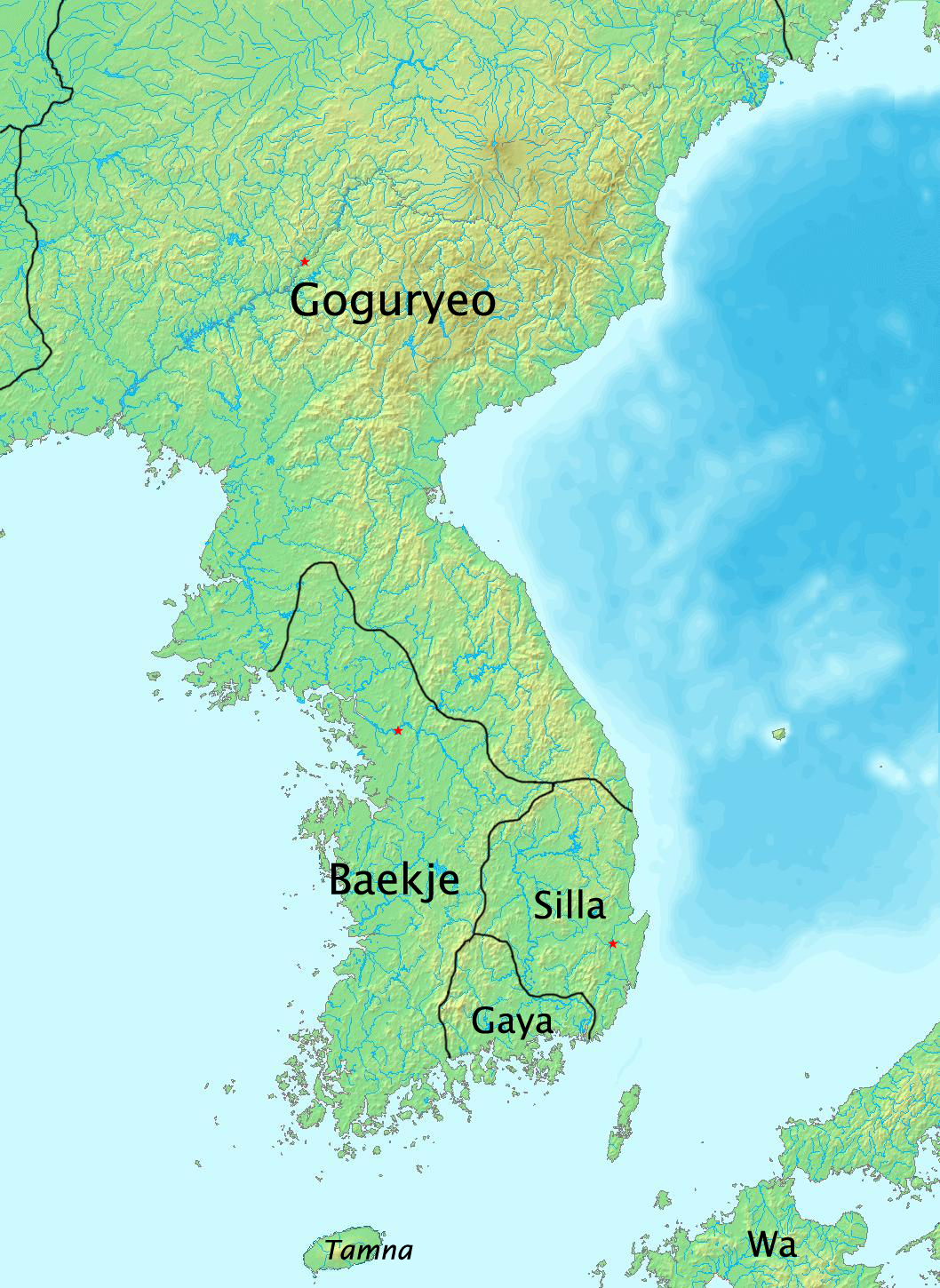
- Relation 新羅 신라 [57 – 554] (2694614) (as outer)
- Relation 百濟 백제 [19 BCE – 554 CE] (2692875) (as outer)
Nodes
34 nodes
- 2090861569 (part of ways 198647408 and 198568903)
- 2090861571
- 2090861572
- 2090861573
- 2090861574
- 2090861575
- 2090861576
- 2090861577
- 2090861578
- 2090861579
- 2090861580
- 2090861581
- 2090861582
- 2090861583
- 2099820935
- 2099820934
- 2090861586
- 2090861587
- 2090861588
- 2090861589
- 2090861590
- 2090861591
- 2090861592
- 2090861593
- 2090861594
- 2090861595
- 2090861596
- 2090861597
- 2090861598
- 2090861599
- 2090861600
- 2090861601
- 2090861602
- 2090861603 (part of ways 198647404 and 198647406)
Welcome to OpenHistoricalMap!
OpenHistoricalMap is an interactive map of the world throughout history, created by people like you and dedicated to the public domain.
OpenHistoricalMap is a charter project of OpenStreetMap U.S., a 501(c)(3) nonprofit organization affiliated with the OpenStreetMap Foundation. Technical development is supported by GreenInfo Network and Development Seed.
Map Layers
Enable overlays for troubleshooting the map
Map Key
Share
Link or HTML
Geo URI
Image
Only the Standard, Cycle Map and Transport layers can be exported as an image
300 km
100 mi
Range
-
April 23, 1925
mm/dd/yyyy
1/1/1825
1/1/1825
mm/dd/yyyy
12/31/2025
12/31/2025
Time Jump
Speed
| https://www.openhistoricalmap.org/copyright | https://www.openhistoricalmap.org |
| OpenHistoricalMap is dedicated to the public domain except where otherwise noted. | |