Loading...
Way History: 關東州邊界 (198643311)
Version #1
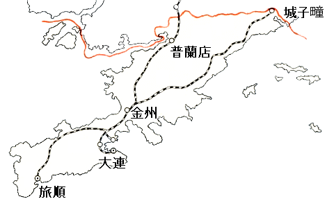
關東州 boundary
Tags
| admin_level | 2 |
|---|---|
| boundary | administrative |
| maritime | yes |
| name | 關東州邊界 |
| source | https://upload.wikimedia.org/wikipedia/commons/2/21/Kantoshu20141110.png |
Nodes
9 nodes
- 2093215997 (part of way 關東州邊界 (198643310))
- 2093215996
- 2093215995
- 2093215994
- 2093215993
- 2093215992
- 2093215991
- 2093215990
- 2093169980 (part of ways 198642361 and 198643309)
Welcome to OpenHistoricalMap!
OpenHistoricalMap is an interactive map of the world throughout history, created by people like you and dedicated to the public domain.
OpenHistoricalMap is a charter project of OpenStreetMap U.S., a 501(c)(3) nonprofit organization affiliated with the OpenStreetMap Foundation. Technical development is supported by GreenInfo Network and Development Seed.
| https://openstreetmap.org/copyright | https://openstreetmap.org |
| Copyright OpenHistoricalMap and contributors, under an open license | |