Loading...
Way: Glockengasse [1200 – ] (198590964)
Version #5
Editing
Tags
| highway | residential |
|---|---|
| name | Glockengasse |
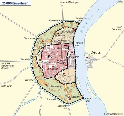
| source | https://media.diercke.net/omeda/501/100267_026_2.jpg |
| start_date | 1200 |
Nodes
11 nodes
- 2091775745 (part of ways Hämergasse [1571 – ] (198590963) and Hämergasse [1571 – ] (198590962))
- 2091775746
- 2091775747
- 2091775748
- 2091775749
- 2091775750
- 2095293232 (part of way Schwertnergasse [1571 – ] (198767270))
- 2095293204 (part of way [1962 – ] (198767267))
- 2091775751
- 2093535573 (part of ways Offenbachplatz [1962 – ] (198656717) and Tunisstraße [1962 – ] (198656716))
- 2091775752 (part of ways Tunisstraße [1962 – ] (198765252) and Offenbachplatz [1962 – ] (198656718))
Welcome to OpenHistoricalMap!
OpenHistoricalMap is an interactive map of the world throughout history, created by people like you and dedicated to the public domain.
OpenHistoricalMap is a charter project of OpenStreetMap U.S., a 501(c)(3) nonprofit organization affiliated with the OpenStreetMap Foundation. Technical development is supported by GreenInfo Network and Development Seed.
| https://www.openhistoricalmap.org/copyright | https://www.openhistoricalmap.org |
| OpenHistoricalMap is dedicated to the public domain except where otherwise noted. | |